
Trace a Delta Township Street
Street-by-street research in Delta Township begins by making sure the address is in the township, not merely using a Lansing or Grand Ledge postal label. The Postal Service assigns delivery geography, while municipal jurisdiction comes from the parcel and map context. Start with the USPS ZIP Lookup for an address-level delivery check, then use the public GeoDelta viewer to place the address in the township, a section, and a subdivision or phase. The property trail then moves from the municipal assessment display to county land records. Each stop answers a different question rather than supplying a single household list.
- Search the address, address range, or parcel number in the Delta Township BS&A public display and save the address as shown.
- Use GeoDelta to check the street’s section, subdivision or phase, precinct context, and nearby streets. Its publicly documented layers are useful even though the exact parcel-search controls need browser confirmation.
- Check a known person through the state voter service with first name, last name, birth month, birth year, and ZIP. It is a voter-service lookup, not a street browse.
- Search the owner or legal description in the county real-property index, recording the instrument number, document type, recorded date, and named parties.
- For an older address, compare period directories, Sanborn maps, and local-history material before connecting a printed street number to a modern address.
Keep each result with its date and source. An owner, taxpayer, permit applicant, deed party, and registrant may be different people. That distinction prevents a quick street directory search from becoming an unsupported claim about residence.
Delta Township Street Search Fields
The Delta Assessing online records page routes property, tax, sale, permit, and payment research through BS&A. The public municipal landing provides three core paths. Address searching can accept one address or an address range, which makes it especially useful for a block segment. A name search joins a name to parcels and can produce false matches. Parcel number is the most precise choice when it is already known from a tax or assessment record.
| BS&A field | Use | Format or result note |
|---|---|---|
| Address | Find a property or a stretch of addresses | Accepts one address or a range such as 100-200 Main St. |
| Name | Locate parcels associated with a first and last name | Common names can return more than one parcel. |
| Parcel Number | Open the specific assessment record | Use the municipality’s exact parcel identifier. |
| Result list | Compare returned records | Official examples show Name, Reference #, and Address, with sorting by name, address, or parcel number. |
The assessed and taxable values are assessment terms, not title proof. Delta explains that assessed value is half of estimated true cash value, while taxable value follows separate rules. Its public display also warns that some data and permits can update, tax-payment dates may only run through February, and special assessments may be incomplete. Verify a disputed or time-sensitive entry with Delta Assessing, Accounting, or the Eaton Treasurer.
Delta’s BS&A public-record display is shown in this Delta Township street directory image.
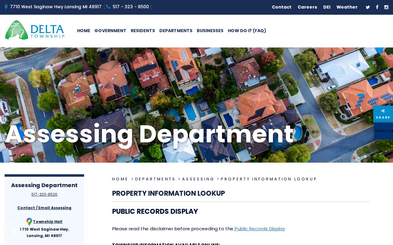
The captured display reinforces the difference between a municipal reference record and a verified title or residence finding.
The captured BS&A advanced-search view shows the assessment search surface used for Delta Township street directory work.
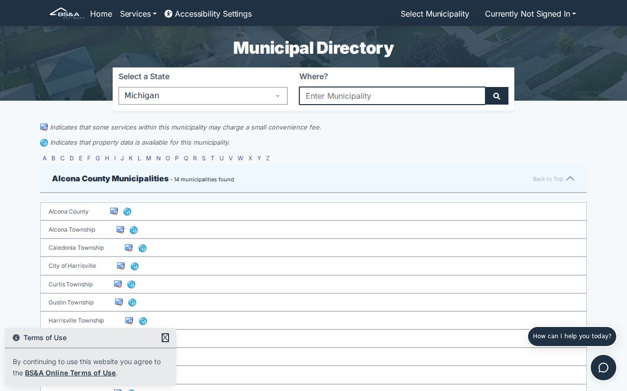
Use the screenshot as a reminder to confirm what the live form currently exposes, because the direct detailed route was not fully available during text inspection.
Map Delta Township Street Context
GeoDelta adds the geographic layer that a parcel result cannot supply by itself. Official services document voting layers for poll locations and precincts, section-boundary layers for sections and quarter-quarter sections, and subdivision layers for subdivisions and subdivision phases. These layers can help distinguish similar street names, show whether a parcel belongs to a named development, and explain why an older record uses a township, range, section, or legal description instead of a familiar street number.
- Parcel
- A defined piece of land used in the local assessment and tax record.
- Situs address
- The property address displayed for the parcel, which can differ from a mailing address.
- Plat
- A recorded map that lays out a subdivision or other land division.
- Criss-cross directory
- A directory arranged to work from a street or address toward a listed name. Its period coverage must be checked before using it for a Delta Township address.
Subdivision and phase names are also practical search terms. Delta planning and magazine materials reference Delta Mills Estates, Armstrong Hills, Pointe West, Ashford Manor, River Ridge, Village of Millett, and Waverly. Those labels can guide a GeoDelta or deed-index search, but the research did not establish them as formal associations or prove that a label identifies every address nearby.
Note: GeoDelta’s public text view did not expose a complete parcel-search field inventory, result card, or export control, so confirm live map behavior before relying on it.
Delta Township Records by Street
Several official sources are keyed to an address, parcel, legal description, or a person connected to a property. Their overlap is useful, but their meanings differ. The assessment display is a municipal reference record. GeoDelta supplies map context. The Register of Deeds records the instruments that affect real estate. A permit can connect work to an address. Michigan voter data has public-record rules, but the public MVIC form is built for a known person, not for listing an entire block.
| Address record | Custodian | Street-level value | Access path |
|---|---|---|---|
| Assessment, tax, sale, and permit display | Delta Township | Property context, values, sales, data, and listed permits | BS&A public display and township contacts |
| Parcel, section, precinct, subdivision layers | GeoDelta | Map context and nearby streets or parcels | Public GeoDelta and official ArcGIS services |
| Real-property instruments | Eaton County Register of Deeds | Legal parties, document trail, dates, and legal description | Online index or Register of Deeds office |
| Voter service and requested voter data | Michigan Department of State | Known-person verification or a permitted geographic request | MVIC or the QVF data-request process |
| Building records | Delta Building Department | Permit, status, payment, printing, and inspection context | Online permitting and BS&A record routes |
The parcel number and legal description are the most reliable bridges between local and county sources. The street name itself can vary in abbreviations, directions, and historic forms. Preserve the spelling shown by each office before normalizing it for another search.
Note: Preserve each custodian’s street spelling and date before comparing results, because a familiar address form may not match an older record.
Eaton Deeds for Delta Township Addresses
The Eaton County Register of Deeds receives, records, indexes, and digitally stores legal documents that affect real estate. The county says its land records from 1836 to the proof date are available online. That date range describes the county land-record universe, not a directory of every Delta Township household. The public index’s Quick Search can look for grantor, grantee, subdivision, document type, or document number, with From and To date fields and index-only or index-and-OCR search scope.
Begin with index-only searching to identify a likely document. Then search the current owner or grantee, the subdivision, and the legal description to move backward through the grantor and grantee trail. A deed’s named parties and recorded date help document an ownership change. They do not prove who occupied the property at any particular time. For in-person help, the Register of Deeds is at 1045 Independence Blvd in Charlotte; the researched hours are Monday through Friday, 8:30 a.m. to 4:30 p.m., with lunch from noon to 1 p.m., and the office phone is 517-543-4203.
- Instrument or document number
- Document type and recorded date
- Grantor and grantee names
- Legal description and subdivision reference
- Consideration, image, and page count only when the live record displays them
Two or more words are treated as a phrase in the index’s OCR or full-text search, while single words search individually in the index. The exact document-type list, image fee, and every image-access rule were not confirmed in the research, so check the current portal before ordering or relying on an image.
Note: Record instrument and recording dates separately, because a later recording date does not necessarily describe when an ownership change occurred.
Delta Township Street Permit Clues
Delta’s online permitting service can apply for permits, check status, pay, print permits, and schedule inspections without a call or visit. The public route is useful after an address or parcel search produces a building question. Residents and other non-contractors can use the portal without registration. Contractor registration follows a separate account and Web PIN process. That split matters because a person named in a permit may be an owner, contractor, or agent rather than a current resident.
The Building Department’s researched contact is Township Hall, with Building Director Matt Leach listed at 517-323-8530. For a municipal record that is not displayed, Delta’s FOIA route is separate from Eaton County’s. A focused request should identify the department, address or parcel, document type, and date range, and can ask for electronic copies. It should not ask for a broad list of residents, because research found no evidence that Delta publishes such a roster.
Delta’s permit instructions are shown in this Delta Township street directory image.
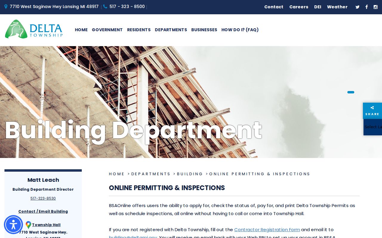
Permit status and inspection tools can anchor a property timeline, but the record role still needs to be stated carefully.
Historic Delta Township Street Numbers
Older Delta Township street research requires more patience than a current parcel lookup. Historical records can describe land by township, range, section, farm, owner, or a local landmark instead of a modern address. Current subdivision phases may also postdate the records being searched. The Capital Area District Library home-history guide points researchers to property files, Sanborn maps, city directories, and address-numbering research. Its property-file coverage does not reach every Delta address.
CADL warns that pre-1906 Lansing-area numbers are not stable and that no complete cross-reference is available. Preserve the printed form first, then test likely variants: W versus West, St. Joseph versus St. Joe, road versus rd, drive versus dr, and avenue versus ave. Search an apartment or unit in its complete form before removing it. BS&A’s address-range option can also help compare adjacent numbers. The Delta Township District Library digital collection supports exact and Boolean searches for local terms such as Delta Mills, Delta Mills School, Canal Road, Webster Road, or a historic surname.
Note: No complete, authoritative street-by-street historical resident index for all Delta Township streets was found, so every older match needs source-by-source confirmation.
Limits of a Delta Township Street Directory
A Delta Township street directory can connect public property, map, deed, permit, and historical sources. It cannot turn those sources into a complete account of the people connected to an address. The BS&A display is provided as a municipal reference and disclaims warranty. Land instruments are an ownership trail. A voter-registration address is a registration contact and may not establish occupancy on the day it is viewed. Historic directories and maps have coverage and numbering gaps. If a search result matters, confirm the record date, source, and relationship it actually names.
Michigan voter records have public-access rules, but sensitive fields are withheld, including driver or state-ID number, month and day of birth, phone, email, signature, and certain application information. Address Confidentiality Program participants can have specially handled designated addresses. Do not use an address search to work around a protected address or to assemble contact details about a household.
Lawful use. Use Delta Township address records for personal, lawful research and civic or family-history questions. Do not use them to stalk, harass, intimidate, or harm anyone.